Dubai Metro Map 2026: Interactive Guide, Live Location & Essential Travel Tips
Navigating a bustling city like Dubai can be an exhilarating experience, but also a challenging one without the right tools. Fortunately, the city’s modern infrastructure includes a world-class metro system that makes travel efficient and enjoyable. Understanding the Dubai Metro Map is your first step to unlocking this incredible network. This article will serve as your comprehensive guide, delving into the interactive features, live location capabilities, and essential tips that transform how you experience urban mobility in Dubai. Whether you’re a resident, a student, or a tourist, mastering the metro map will save you time, money, and stress, allowing you to focus on enjoying everything Dubai has to offer.
| Category | Details (2025 Outlook) |
|---|---|
| Network Size | Two operational lines (Red, Green), Blue Line under construction |
| Track Length | Over 90 km operational, expanding to 131 km by 2029 |
| Stations | 55 operational, increasing to 78 by 2029 |
| Annual Passengers | Over 300 million |
| Key Features | Interactive maps, Dubai Metro live train location, Nol Card system |
| Connectivity | Integrates with buses, tram, marine transport |
Discovering the Dubai Metro System: Your Gateway to the City
The Dubai Metro isn’t just a transport system; it’s a vital artery of the city, connecting diverse neighborhoods, business hubs, and tourist attractions with remarkable ease. Established as a symbol of Dubai’s futuristic vision, the metro boasts a state-of-the-art network designed for both efficiency and passenger comfort. Currently, the system proudly operates two fully functional lines: the iconic Red Line and the versatile Green Line. Plans are also well underway for a third, the Blue Line, which promises to further enhance the network’s reach by 2029. This expansive infrastructure currently covers over 90 kilometers of track, with ambitious expansions set to push it to 131 kilometers in the coming years. With 55 operational stations serving key urban and suburban areas, and an expected increase to 78 stations by 2029, the metro is continuously growing to meet the demands of a dynamic city. The system’s popularity is undeniable, handling over 300 million passengers annually and frequently exceeding 850,000 daily riders during peak hours, underscoring its indispensable role in daily life.
Metro Lines and Their Connectivity
Each metro line in Dubai plays a crucial role in connecting different facets of the city. The Red Line, stretching approximately 67.1 kilometers with 35 stations, is the longest driverless metro line globally. It links Rashidiya (CenterPoint) all the way to Expo City (Expo 2020), passing through vital locations like Dubai International Airport, the historic areas of Deira and Bur Dubai, the bustling Dubai Marina, major shopping malls, and key business districts such as the World Trade Centre and DMCC. It’s perfect for tourists wanting to see the sights and business professionals on the go. The Green Line, covering about 20-26 kilometers with 20 stations, serves as a complementary route. It extends from Etisalat in the north to Creek, connecting traditional areas and residential neighborhoods, offering a glimpse into Dubai’s cultural heritage. Both lines intersect at two major interchange stations, Union and BurJuman, making transfers seamless and efficient. This strategic layout ensures that the Dubai Metro Map provides comprehensive coverage for almost any journey you might undertake in the city.
How Your Interactive Dubai Metro Map Works
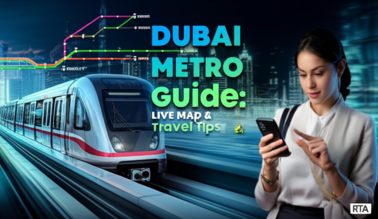
Gone are the days of deciphering static paper maps. The modern Dubai Metro Map experience is fundamentally driven by interactivity and real-time data. When we talk about an interactive metro map Dubai, we refer to sophisticated digital platforms that go far beyond simple line diagrams. These maps offer a dynamic view of the entire metro network, allowing you to click on any station to view its specific timings, available facilities, and even nearby attractions. The cornerstone of this interactive experience is the ability to see the Dubai Metro live train location. Imagine knowing exactly where your train is, how many minutes until it arrives, and even if there are any delays – all from your smartphone. This real-time information empowers commuters to plan their journeys with unprecedented accuracy, minimizing waiting times and reducing travel anxieties. It transforms commuting from a guessing game into a precisely orchestrated movement, reflecting Dubai’s commitment to smart city initiatives and technological advancement in public services.
Popular Platforms and Tools for Metro Navigation
To access the full suite of interactive features, you’ll want to leverage dedicated applications and online platforms. The official RTA (Roads and Transport Authority) provides its own interactive maps and mobile applications, which are often the most reliable source for the latest information. Beyond the official channels, several popular third-party apps also offer excellent functionality for navigating the Dubai Metro. Apps like Mapway are highly regarded for their intuitive interfaces, robust route planning capabilities, and real-time updates. These tools are designed to be user-friendly, offering step-by-step guidance, estimated journey times, and details on interchange stations. Many even feature offline access, which can be a lifesaver if you lose internet connectivity while underground. For example, a student commuting to university can quickly check the fastest route and departure times, while a family planning a day out can easily find the best stations for their desired attractions. Having these tools readily available on your smartphone truly makes the Dubai Metro Map a powerful companion.
Security, Safety, and Accessibility on the Dubai Metro
Passenger safety and security are paramount on the Dubai Metro, making it one of the safest public transport systems globally. The entire network is equipped with extensive CCTV surveillance, and there’s a visible presence of RTA staff and security personnel at all stations and on trains. Emergency call points are strategically placed for immediate assistance. Beyond security, accessibility is a core design principle. All Dubai Metro Map stations are built to be fully accessible, ensuring a smooth experience for everyone. This includes wide entrances, ramps, escalators, and elevators, making it easy for passengers with strollers, luggage, or mobility challenges to navigate. Tactile guidance paths are integrated into station flooring to assist visually impaired passengers, and designated spaces within metro carriages accommodate wheelchairs. These thoughtful considerations ensure that the Dubai Metro is inclusive, providing a comfortable and dignified travel experience for every commuter. It exemplifies Dubai’s dedication to creating an infrastructure that serves all members of society, prioritizing both safety and convenience for millions of daily users.
Benefits of Utilizing the Dubai Metro Map and Live Features
The advantages of relying on the Dubai Metro Map, especially its interactive and live features, are numerous and significantly enhance the urban travel experience. Firstly, the convenience is unparalleled. With real-time updates and an interactive metro map Dubai on your phone, you can plan journeys on the fly, adjust to unforeseen delays, and always know the optimal route. This cuts down on wasted time and reduces stress, making your daily commute or sightseeing tour much smoother. Secondly, it’s incredibly efficient. The metro trains run frequently and punctually, ensuring you reach your destination swiftly, bypassing the city’s notorious traffic. This efficiency is amplified by the ability to see the Dubai Metro live train location, allowing you to time your arrival at the station perfectly. Thirdly, the cost-effectiveness of the metro compared to taxis is substantial, especially for regular commuters or large families exploring the city. Finally, choosing the metro is an environmentally conscious decision, contributing to reduced carbon emissions and traffic congestion in Dubai, aligning with global sustainability efforts. It’s a smart, green, and economical way to travel.
Understanding Limitations and Navigational Challenges
While the Dubai Metro offers outstanding service, it’s helpful to be aware of a few limitations to optimize your travel. One primary consideration is the operating hours; while extensive, the metro does not run 24/7. It typically operates from 5 AM to midnight on weekdays, with extended hours on weekends and public holidays. Therefore, for very late-night or early-morning travel, alternative transport like taxis or ride-sharing services may be necessary. Another aspect is understanding the fare zones. Dubai Metro operates on a zone-based fare system, which can initially seem a little complex for new users. Fares start from AED 3, but the exact price depends on how many zones you traverse. Consulting the schematic Dubai Metro Map or using a journey planner app is crucial for accurate fare calculation. Lastly, while the network is expanding rapidly, there are still areas of Dubai not directly served by the metro. In such cases, seamless connectivity with feeder buses and other public transport options bridges these gaps, requiring a bit of extra planning through integrated travel apps. However, with a little preparation, these limitations are easily overcome.
Pricing and Offers: Mastering the Nol Card System
The Dubai Metro operates on a cashless, contactless fare payment system centered around the versatile Nol Card. This innovative card is essential for anyone planning to use the metro, as cash payments are not accepted at ticket barriers. There are several types of Nol Cards tailored to different traveler needs. The Silver Card is ideal for regular commuters, offering excellent value and convenience. For those seeking a premium travel experience, the Gold Card grants access to the exclusive Gold Class cabins, providing more spacious seating and enhanced comfort. Short-term visitors will find the Red Ticket particularly useful, as it’s a disposable paper ticket valid for up to 10 trips. Lastly, personalized Nol Cards are available for frequent commuters, often with added benefits. Fares are zone-based, meaning the cost of your journey depends on the number of zones you travel through, with prices starting from an affordable AED 3. Recharging your Nol Card is straightforward, with options available online, at any metro station ticket office or machine, and through various RTA service centers across the city. Understanding this system is key to smooth and efficient metro travel.
Availability, Accessibility, and Future Developments
The Dubai Metro prides itself on its widespread availability and seamless accessibility across the city. All metro stations are designed for ease of use, featuring escalators, elevators, and clear signage to guide passengers. Tactile guidance is provided for visually impaired individuals, ensuring that the system is inclusive for all. Furthermore, the metro system is ingeniously integrated with Dubai’s broader public transport network. This includes smooth connections to feeder buses that extend coverage into residential and commercial areas not directly on a metro line. Additionally, the metro links with the Dubai Tram, offering convenient transfers for those traveling between Dubai Marina and Al Sufouh. Marine transport options, such as water buses and traditional abras, are also accessible from certain metro stations, enhancing connectivity along Dubai Creek. Looking ahead, the network continues to evolve. The Red Line’s Expo City extension significantly boosted its capacity for tourism and major events, showcasing the system’s adaptability. Crucially, the Blue Line construction is a major ongoing development, set for completion by 2029, which will expand coverage to emerging residential and commercial districts. These continuous enhancements, including modernization of existing stations, ensure the Dubai Metro Map remains dynamic and responsive to Dubai’s growth.
| Pros | Cons |
|---|---|
| Efficiency: Rapid, punctual travel, bypassing traffic. | Operating Hours: Not 24/7, requiring alternative transport late-night/early-morning. |
| Convenience: Interactive metro map Dubai and Dubai Metro live train location features. | Zone Complexity: Fare calculation can be initially confusing for new users. |
| Accessibility: Fully equipped stations for all passengers, including those with disabilities. | Network Gaps: Some areas not directly served, requiring bus or tram connections. |
| Cost-Effective: More economical than taxis for most journeys. | Nol Card Reliance: Requires a specific card, cash not accepted for fares. |
| Connectivity: Integrated with buses, tram, and marine transport. | Peak Crowds: Can get very busy during rush hours, especially Gold Class. |
Frequently Asked Questions About the Dubai Metro Map
Q: How do I find the best route using the Dubai Metro Map?
A: To find the best route, use an official RTA app or a popular third-party application like Mapway. Simply input your starting point and destination, and the interactive metro map Dubai will calculate the quickest route, including any necessary interchanges, estimated travel time, and fare. Many apps also show Dubai Metro live train location for real-time planning.
Q: Why is the Nol Card essential for using the Dubai Metro?
A: The Nol Card is essential because the Dubai Metro operates on a cashless system. You cannot pay for fares with physical cash at the ticket barriers. The card allows for contactless payment, offers different types for various travel needs (Silver, Gold, Red Ticket), and simplifies fare calculation based on zones, making your journey seamless.
Q: Are there any specific tips for tourists using the Dubai Metro Map for the first time?
A: For first-time tourists, we recommend purchasing a Red Ticket Nol Card at any station, which is suitable for short visits. Download a reliable interactive metro map Dubai app to plan your journeys and check for Dubai Metro live train location updates. Pay attention to the fare zones, and remember that Union and BurJuman are key interchange stations for transferring between the Red and Green Lines.
Q: Can I use the Dubai Metro to get to Dubai International Airport?
A: Yes, absolutely! The Dubai Metro’s Red Line has dedicated stations serving both Terminal 1 and Terminal 3 of Dubai International Airport. This makes it a highly convenient and cost-effective way to travel to and from the airport, avoiding traffic and taxi fares. Ensure you check the relevant airport terminal station on your Dubai Metro Map for accurate navigation.